 |  |
|
||||||||||||||||||||||||||||||||||||||||||||||||||||||||||||||||||||||||||||||||||||||||||||||||||||||||||||||||||||||||||||||||||||||||||||||||||||||||||||||||||||||||||||||||||||||||||||||||||||||||||||||||||||||||||||||||||||||||||||||||||||||||||||||||||||||||||||||||||||||||||||||||||||||||||||||||||||||||||||||||||||||||||||||||||||||||||||||||||||||||||||||||||||||||||||||||||||||||||||||||||||||||||||
|

–
|
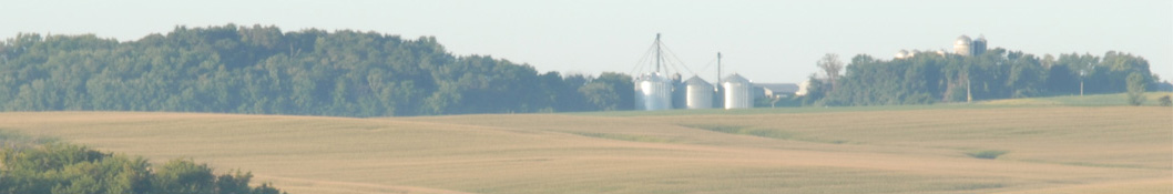
| Cold Front Enters the Western Midwest |
Scattered showers, storms for Northern Plains, Western Midwest. Temperatures start to cool following front. » More DTN Weather Commentary |
| Posted at 5:28AM Mon Aug 3, 2026 CDT |